
Why should you use the Geoportail for your real estate purchase in Luxembourg ?
Investing in real estate in Luxembourg is often the project of a lifetime. Yet, many buyers focus only on the aesthetic appeal of a property without checking its technical or legal constraints. As a real estate agent, I use Geoportail daily—a goldmine of public information to secure your investment.
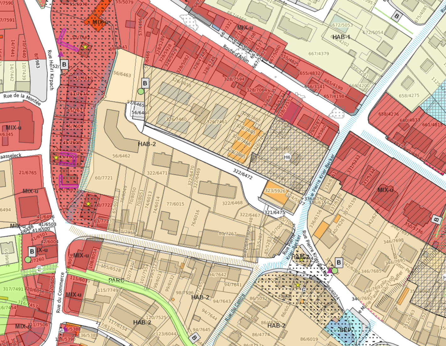
What can Geoportail reveal about a property?
Beyond a simple cadastral map, this tool allows you to visualize layers of information that are invisible during a physical visit:
- Urban Planning (PAG & PAP): Is the land in a residential or mixed-use zone? What are the building regulations? This is where we verify if your extension projects are feasible.
- Nature Protection (Natura 2000): Does your future garden contain a protected biotope? These zones impose strict restrictions on outdoor landscaping.
- Risks and Nuisances: Check if the house is in a flood zone or exposed to road or air traffic noise using official mapping data.
Anticipate value growth with Sectorial Master Plans (PDS)
Strategic analysis involves looking at Luxembourg’s Sectorial Plans, which take precedence over municipal regulations. They reveal what your neighborhood will look like in 10 or 20 years:
- PDS Transport: Is there a planned tram line, a new station, or a priority cycle path nearby? This is a major driver for future real estate appreciation. It also helps anticipate potential road widening.
- PDS Landscapes: It defines (for example) "interurban green zones." This guarantees that your view will not be ruined by future urban sprawl and that the natural setting will be preserved.
- PDS Housing: It identifies priority areas for national residential development, ensuring consistent infrastructure growth.
- PDS Economic Activity Zones (ZAE): This plan identifies areas reserved for industrial, artisanal, or commercial development. Checking this layer ensures that no major business park is planned near your future home, protecting both your peace of mind and your property's value.
Advice from your real estate expert
Don’t be caught off guard by an invisible constraint. An in-depth analysis of the land registry (cadastre) and protection zones is essential before signing a sales agreement (compromis).
My role is to guide you through this complex technical analysis. For every sale, I perform a full analysis using these official tools to guarantee a transparent and stress-free transaction.
Written on 21st Jan 26