
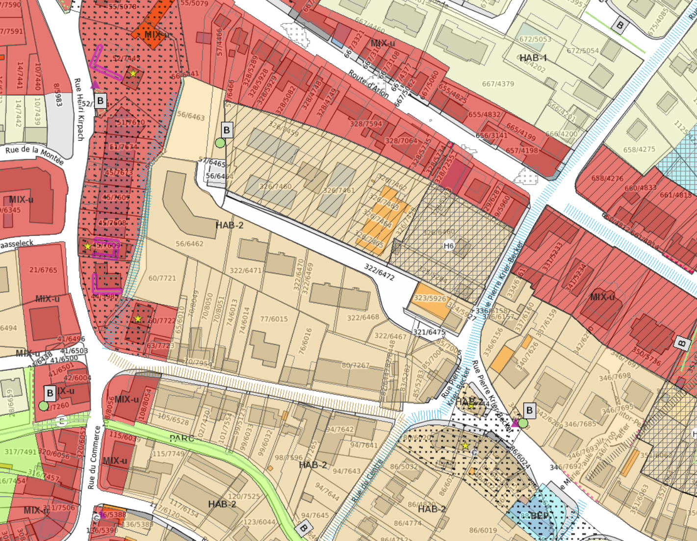
Buying a house, apartment or building plot in Luxembourg involves much more than assessing its condition, surface area and asking price. Some critical information remains invisible during a viewing, including urban planning restrictions, flood risks, environmental protections, noise exposure and future developments in the surrounding area.
Geoportail Luxembourg brings together official mapping tools covering cadastral information, urban planning, environmental protection, transportation, water management and territorial development.
Key Takeaway
Geoportail does much more than display cadastral maps. It can reveal planning restrictions, environmental considerations and future developments that may influence a property's long-term value and usability.
Why Consult Geoportail Before Buying?
A property viewing only provides a snapshot in time. It does not necessarily reveal planning rules, environmental constraints or long-term development projects affecting the area.
What an Initial Review Can Reveal
- Urban zoning classification.
- Approved PAP developments and planning regulations.
- Flood-risk areas.
- Protected environmental zones and biotopes.
- Road, rail or airport noise exposure.
- Future territorial and transport projects.
1. Identify the Exact Cadastral Parcel
The first step is confirming the exact parcel concerned. Boundaries visible on site do not always perfectly match cadastral information.
2. Review PAG and PAP Planning Rules
The General Development Plan (PAG) and Specific Development Plans (PAP) determine how land can be used and developed.
Questions Worth Asking
- Which PAG zone does the property belong to?
- Is an approved PAP applicable?
- What restrictions apply to extensions or redevelopment?
- Are additional permissions required?
- Are there specific easements or constraints?
Key Takeaway
A buildable plot does not automatically allow every project. Local planning rules and development regulations must always be reviewed together.
3. Check Flood Zones
Luxembourg's water-related maps help identify flood-risk areas and provide useful information when assessing long-term risks.
4. Identify Protected Areas and Biotopes
Geoportail may reveal Natura 2000 zones, remarkable trees, protected habitats and other environmental considerations that could influence future works.
5. Assess Noise Exposure
Official noise maps can provide valuable information on exposure to major roads, railway lines and airport traffic.
6. Review Sector Master Plans
Luxembourg's Sector Master Plans cover housing, transport, landscapes and economic activity zones.
7. Put the Information Into Context
Maps are useful decision-support tools, but they should always be interpreted alongside official documents, professional advice and the buyer's specific objectives.
The BLImmo Approach
A property should not only be evaluated based on its appearance and price. Its regulatory, environmental and territorial context is equally important.
Our role is to help clients better understand these elements and make informed decisions with confidence.
FAQ: Geoportail and Property Purchases in Luxembourg
Is Geoportail Luxembourg free to use?
Yes. Most public mapping portals are freely accessible online.
Can Geoportail confirm with certainty whether a plot is buildable?
It provides valuable planning information, but official confirmation should always be obtained from the relevant authorities.
Can flood zones be checked?
Yes, flood-risk information is available through dedicated water-management maps.
Do map layers have legal value?
They are primarily designed for information and reference purposes. Official documents should always be consulted before making important decisions.
Why review Sector Master Plans?
They provide insight into long-term territorial development and infrastructure planning.
Our Local Expertise
BLImmo supports property buyers and sellers across western Luxembourg, including Steinfort, Hobscheid, Koerich, Mamer, Kehlen, Capellen, Garnich, Eischen, Windhof and surrounding municipalities.
Sources and Further Reading
Thinking about selling or buying property in Luxembourg?
Reliable information is the foundation of a successful property decision. BLImmo can help you analyse a property's environment and market positioning.
Property owners can benefit from a professional valuation tailored to the Luxembourg market.